Understanding the Impact of Local Mapping on Conservation Efforts
Local mapping services have become crucial tools in environmental conservation, especially in regions like Canada where biodiversity is rich yet vulnerable. This article explores the role of these mapping services, the tools available, and how community interactions can enhance conservation efforts.
Understanding the Basics of Local Mapping
Local mapping involves creating detailed geographical representations of a specific area, which often include data on land use, wildlife habitats, and environmental resources. According to research by the Canadian Council on Ecological Areas, effective local mapping can significantly aid in monitoring conservation areas and managing resources sustainably.
"Comprehensive mapping helps identify critical habitats and prioritize conservation actions, ultimately leading to more effective environmental protection."
The Tools Behind Local Mapping
Several tools are available for local mapping, including Geographic Information Systems (GIS) and mobile mapping applications. These tools allow users to collect, analyze, and visualize geographical data. Experts recommend using GIS for its ability to manage extensive datasets, typically leading to improved decision-making in conservation efforts.
Popular Tools Used in Local Mapping
- GIS Software: Tools like ArcGIS and QGIS provide advanced analytical capabilities.
- Mobile Applications: Apps such as iNaturalist allow users to document local flora and fauna, contributing to biodiversity databases.
- Community Mapping Platforms: Websites like Maptionnaire encourage community participation by allowing residents to share local knowledge.
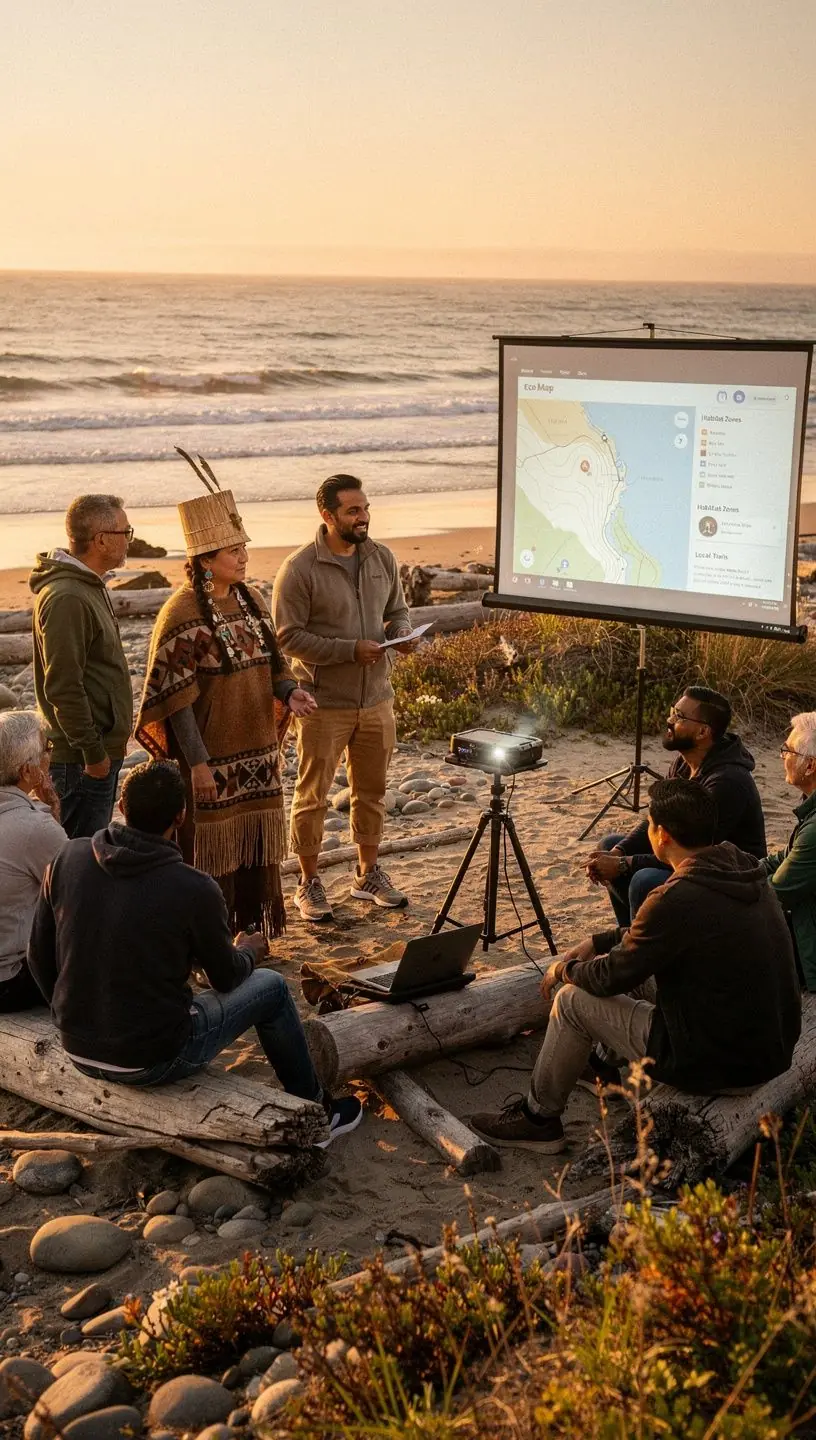
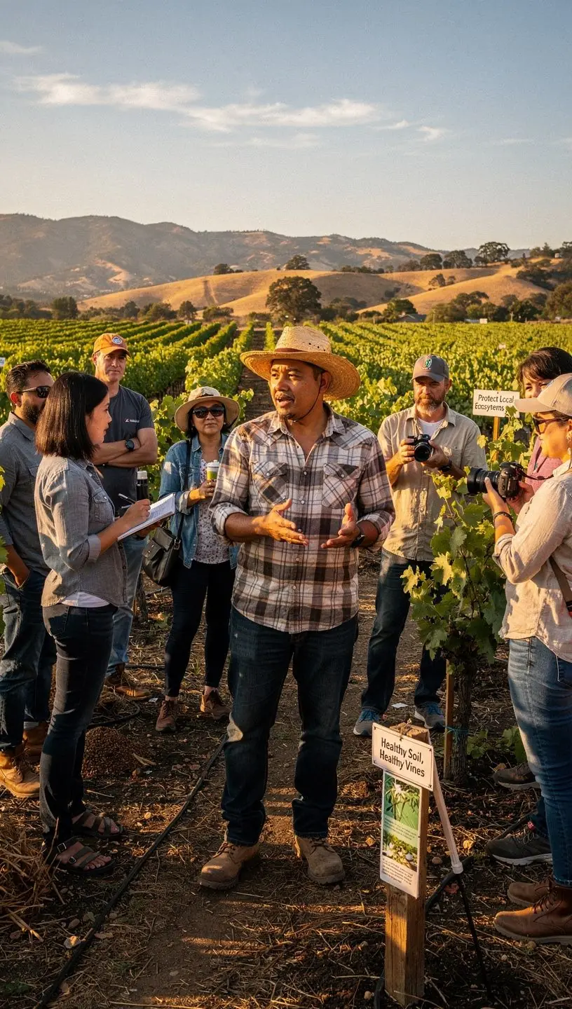
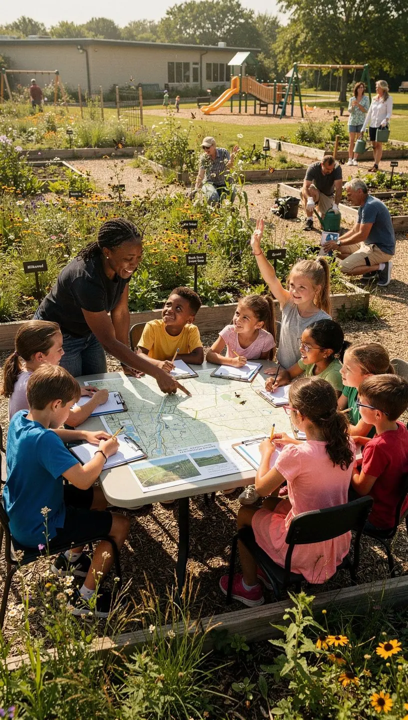
Community Interactions and Their Role
Engaging the community is vital for the success of local mapping initiatives. Many users report that local knowledge significantly enhances the accuracy of map data. This works because community members often have valuable insights into their environments that are not captured by traditional methods.
Benefits of Community Involvement
- Local knowledge can lead to more accurate mapping data.
- Enhances community awareness and support for conservation initiatives.
- Fosters a sense of ownership and responsibility towards local ecosystems.
Challenges and Limitations
While local mapping can be highly effective, it is not without its challenges. The process typically requires significant time investment, often taking several weeks to gather and analyze data properly. Additionally, there may be a learning curve for community members unfamiliar with mapping technologies.
"While local mapping can greatly enhance conservation efforts, users should be prepared for a commitment of time and resources." - Experts in Environmental Science
Conclusion
In summary, local mapping plays a critical role in enhancing conservation efforts across Canada. By utilizing effective tools and engaging communities, these mapping services can lead to better resource management and environmental protection. While challenges exist, the potential benefits of local mapping are significant, making it a valuable approach in the ongoing effort to conserve our natural heritage.